
Park Rapids employment articles
Five practical guides to the Park Rapids job market, seasonal work, skilled trades and manufacturing, healthcare and community services, and relocating for work.
What a Park, a Bus, and an Airport Reveal About Park Rapids
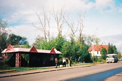
Red Bridge Park, Heartland Express, and the municipal airport show how Park Rapids stays connected by trail, transit, and civic infrastructure.
How Park Rapids Stays Connected When the Miles Add Up

Park Rapids is best understood through its routes: river parks, the Heartland Trail, county transit, the airport, and the civic institutions that connect town and region.
The Shared-Services Network Beneath Park Rapids Life

Park Rapids works through a shared network of libraries, transit, utilities, schools, and parks that reach beyond one building or one street.
The Shortcut That Explains Park Rapids
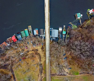
Park Rapids makes more sense when you start at Red Bridge Park: a one-acre river crossing that links downtown life to the Heartland Trail and county recreation.
When Park Rapids Acts Like a Hub
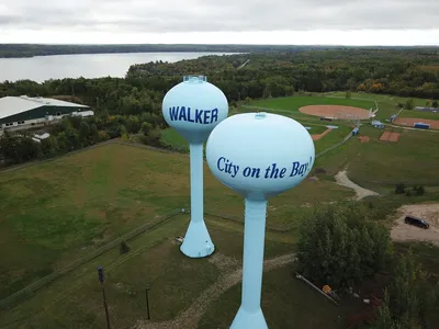
Park Rapids works like a small regional hub: airport, transit, utilities, planning rules, and trail access all shape how people live and move.
The Courthouse, the Trailhead, and the Ride: Three Stops That Explain Park Rapids
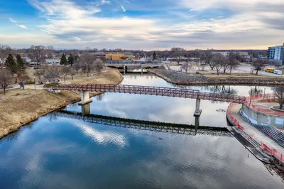
Park Rapids becomes clearer through three anchors: the county courthouse, Red Bridge Park’s trail connection, and Heartland Express’s regional rides.
What Keeps Park Rapids Practical When the Map Gets Spread Out

Park Rapids works because of shared systems—downtown, transit, utilities, parks, and county institutions—not just its lakes and trails.
Why a Park Rapids Home Search Is Really a Systems Search
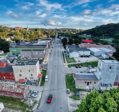
Park Rapids housing is shaped by utilities, rental rules, transit, and a mostly owner-occupied county market. Knowing the system helps a move go smoothly.
The Trips That Reveal Park Rapids’ Real Center
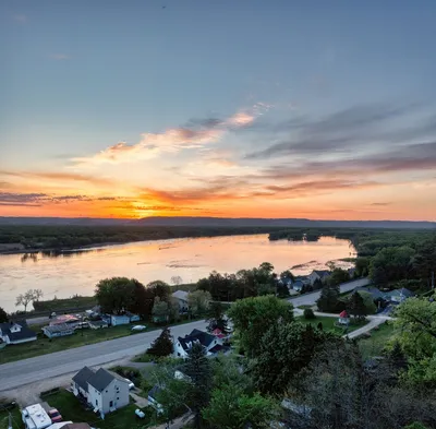
Park Rapids makes more sense as a network of short trips—river, courthouse, airport, transit, and downtown—than as a single main street.
The River Crossing That Shows Park Rapids in Miniature

A small river park reveals how Park Rapids connects downtown, trails, transit, and nearby lakes as one working regional landscape.
What a Park Rapids Address Does Not Tell You
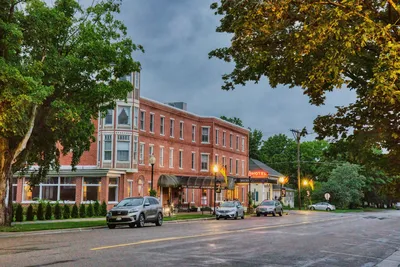
Park Rapids works less like a single dot on the map and more like a linked system of downtown, trail, transit, county services, and family supports.
Why Park Rapids Runs on Shared Systems, Not Just a Main Street
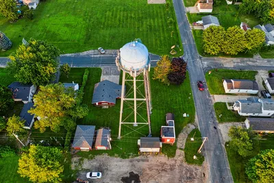
Park Rapids works as a network of parks, transit, schools, and civic services—not just a downtown—so daily life depends on shared systems.